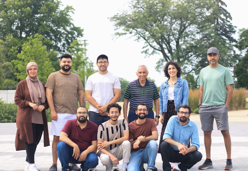
The Earth Science Remote Sensing (ESRS) Lab is proud to share that Dr. Mohamed Sultan has been awarded the Distinguished Faculty Scholar Award—the highest honor Western Michigan University bestows on its faculty. This award recognizes Dr. Sultan’s exceptional scholarly achievements in hydrology, geoscience, and satellite remote sensing. His pioneering work in applying remote sensing technologies …
Welcome to the Earth Sciences Remote Sensing Home Page. We are part of the Geological and Environmental Sciences Department at Western Michigan University. We encourage you to examine the section titled ‘Research Projects‘ to see the current projects.
News
The Earth Science Remote Sensing (ESRS) Lab is proud to announce that its director, Dr. Mohamed Sultan, has been awarded the 2023 Kuwait Prize in Applied Sciences (Hydrology) by the Kuwait Foundation for the Advancement of Sciences (KFAS). This prestigious recognition honors Dr. Sultan’s decades-long contributions to the field of hydrology, particularly his innovative work …
The ESRS group will attend the AGU Fall Meeting this year in Washington DC. with 12 presentations in a wide spectrum of satellite remote sensing applications. The presentations include: Abdelmohsen, K., Sultan, M., Yan, E., Save, H., Emil, M.K., Famiglietti, J.S., 2024, Monitoring Seepage from the GERD and Implications for Sustainable Water Management, AGU Annual …


