Mohamed Sultan, Ph.D.
Professor
mohamed.sultan*wmich.eduResearchGate:
https://www.researchgate.net/profile/Mohamed_Sultan10
Google Scholar:
https://scholar.google.com/citations?user=miZGTSQAAAAJ&hl=en
Research Interests:
Dr. Sultan’s research group applies an interdisciplinary research approach that takes advantage of the best available tools to address a wide range of timely and complex geologic and environmental problems. Our publication and funding record covers a wide range of disciplines (remote sensing, GIS, hydrology, surface runoff and groundwater flow modeling, geophysics, geochemistry, geochronology, and isotope geochemistry, tectonics, Precambrian geology, and Quaternary geology) and attests to the interdisciplinary nature of our ongoing research. Currently, my research is focused on interdisciplinary research for a better understanding of the settings and temporal variations of hydrologic systems (aquifers, watersheds, etc) using: (1) Gravity Recovery and Climate Experiment (GRACE) data, (2) land deformation using radar interferometric techniques applications over the Nile Delta (Egypt), urban settings (Qatar), salt diapir (Saudi Arabia), and the USA, (3) aquatic remote sensing (Great Lakes, Kuwait Bay, and Florida), (4) paleoclimate of Saharan Africa and Arabia, and (5) machine learning applications in geological and environmental sciences.
For a full list of publications
Curriculum vitae
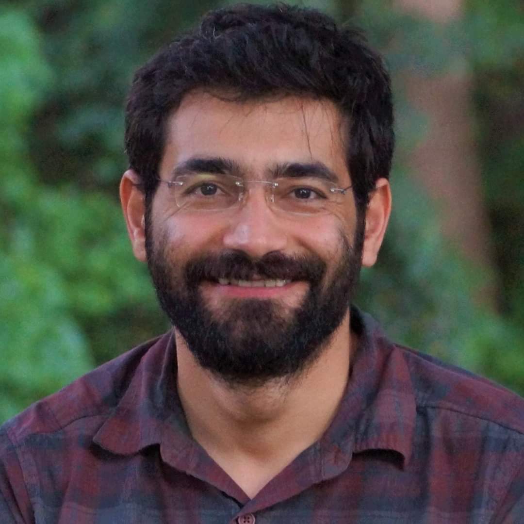
Mustafa Kemal Emil, Ph.D.
Postdoctoral Researcher
mustafakemal.emil*wmich.eduResearchGate:
https://www.researchgate.net/profile/Mustafa_Emil
Google Scholar:
https://scholar.google.com/citations?user=ugILX7UAAAAJ&hl=en
Research Interests:
Dr. Emil’s primary research interest has been monitoring ground deformation caused by anthropogenic and natural factors using Interferometric Synthetic Aperture Radar (InSAR) time-series analysis and GPS observations. In his dissertation, he applied InSAR techniques to investigate controlling factors and the extent of ground deformation in Qatar experiencing rapid urban development. His second research interest has been climate change. He investigates the nature and timing of wet climatic periods in arid environments (i.e., Arabian Peninsula) using noble gas thermometry, isotope geochemistry, and remote sensing. Additionally, he conducted research on natural groundwater discharge processes in the Western Desert of Egypt using multisensor multitemporal satellite data. In the past few years, he also contributed to various other projects on (1) age, origin, and sustainability of fossil aquifers in Saudi Arabia, (2) landslide hazard susceptibility mapping in the Jazan area in Saudi Arabia, (3) assessment of subsidence and associated sea encroachment in Nile Delta of Egypt, and (4) monitoring mass wasting along coastal bluffs of Michigan.

Jay Sagin, Ph.D.
Adjunct Assistant Professor
jay.sagin@wmich.eduResearch Area:
https://flood-mar.kz/
SDG Water Central Asia
Google Scholar:
https://scholar.google.com/citations?user=h0V2zs4AAAAJ&hl=en
Research Interests:
Dr. Sagin works on promoting the scientific cooperation between WMU researchers with their colleagues in Kazakhstan, and in the Central Asian (CA) Universities and research centers. Specifically, he works on developing Technical and Vocational Education and Training (TVET) programs, collaborative research projects, training courses on application of Remote Sensing and GIS in environmental applications and development of natural resources. He utilizes online and face-to-face platforms, and promotes interdisciplinary approaches, together with field and mapping studies to address the United Nations Sustainable Development Goals (UN SDGs) in clean water and climate action adaptation programs.
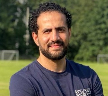
Ahmed Nasreldeen Badawy
Graduate Student, Geosciences (Ph.D.)
a.badawy@wmich.edu.Research Interests:
My current research interest aims at developing an understanding of the cyclic nature of precipitation of the Nile Basin source areas, predicting the frequency of extreme precipitation events, and developing conceptual and numerical methods for optimum utilization scenarios for excess river Nile waters when it occurs.

Abdullah Mohammad
Graduate Student, Geosciences (Ph.D.)
Research Interests:
My primary research interests are centered on understanding rock deformation at all scales. I am particularly interested in orogenic deformation processes, thrust tectonics, growth of faults and ductile shear zones, microstructures, and remote sensing.

Hassan Saleh
Graduate Student, Geosciences (Ph.D.)
h.saleh*wmich.eduLinkedin:
https://www.linkedin.com/in/hassansaleh7/
Google Scholar:
https://scholar.google.com/citations?user=kjBh3fMAAAAJ&hl=en
Research Interests:
My research interests focus on monitoring and modeling the impact of extreme precipitation on the hydrology of arid regions using multiple remote sensing datasets. Currently, I am studying groundwater recharge from tropical cyclones in Southern Arabia using GRACE data and hydrodynamic modeling.

Hadi Karimi
Graduate Student, Geosciences (Ph.D.)
Research Interests:
I am interested in the applications of Remote Sensing, Machine learning, Artificial Intelligence, and GIS (Geographic Information systems) regarding climate change and environmental issues.
Hesham Elhaddad
Graduate Student, Geosciences (Ph.D.)
Research Interests:
I am interested in using geophysical methods and Remote sensing data for hydrological studies.
Ahmed Alshakr
Graduate Student, Geosciences (Ph.D.)
Research Interests:
I am a dedicated environmental and geotechnical geologist specializing in the application of remote sensing technologies to analyze geohazards and environmental changes.
Aylin Yildirim
Graduate Student, Geosciences (Ph.D.)
aylin.yildirim@wmich.edu
ResearchGate:
https://www.researchgate.net/profile/Aylin-Yildirim-3
Google Scholar:
https://scholar.google.com/citations?user=wGKU8fAAAAAJ&hl=tr&oi=ao
Research Interests :
My current research interests focus on utilizing Remote Sensing and GIS technologies for environmental applications and mineral exploration.
Doaa Hegazy
Graduate Student, Geosciences (Ph.D.)
doaaabdelrehimalyahmed.hegazy@wmich.edu
ResearchGate:
https://www.researchgate.net/profile/Doaa-Hegazy-7/research
Google Scholar:
https://scholar.google.com/citations?user=pxF5AncAAAAJ&hl=en&oi=sra
Research Interests :
I am interested in groundwater hydrology, remote sensing, and the impacts of climate change on water resources. My work focuses on aquifer recharge, water quality assessment, and the integration of geophysical, geochemical, and isotopic methods in arid regions such as the Nile Delta and Western Desert. I apply advanced GIS and satellite image analysis for environmental monitoring, natural hazard assessment, and sustainable development planning. Currently, I am studying the impact of climate change on streamflow in the Nile Basin and conducting drought assessment using climate projections and hydrological modeling.
Rami Mansouri
Graduate Student, Geosciences (Ph.D.)
Ramiwaheeba.mansouri@wmich.edu
ResearchGate:
https://www.researchgate.net/profile/Rami-Mansouri-2?ev=hdr_xprf
ORCID:
https://orcid.org/0000-0001-9931-420X
Google Scholar:
https://scholar.google.com/citations?user=QXQUWfcAAAAJ&hl=en
Linkedin:
https://www.linkedin.com/in/rami-mansouri-2910a470/
Research Interests :
I am a Ph.D. student from Saudi Arabia with a strong research interest in groundwater flow within fractured rock systems. My work focuses on understanding the hydrogeological behavior of complex geological formations, particularly those found in volcanic terrains.
My research centers on the Harrat Rahat basaltic aquifer, the largest of its kind in the Middle East, located in the western region of the Kingdom of Saudi Arabia. This aquifer is highly heterogeneous and anisotropic, making it a challenging yet crucial system to study. I am particularly interested in characterizing the fracture network and assessing fracture connectivity, both of which are key to controlling groundwater flow.
As part of my research, I aim to develop and implement both a geological conceptual model and a numerical groundwater flow model to better understand the subsurface flow dynamics. Given the increasing pressure on the aquifer due to excessive groundwater extraction, my work also explores the feasibility of artificial recharge strategies to restore hydraulic balance and support long-term aquifer sustainability.
Alaa Hawamdeh
Graduate Student, Geosciences (Ph.D.)
Linkedin:
www.linkedin.com/in/alaa-hawamdeh-b217b047
Research Interests :
Hawamdeh’s research interests lie at the intersection of hydrology, GIS, remote sensing, climate change, and water resources management. She applies an interdisciplinary approach that combines hydrologic and hydraulic modeling, geomorphological analysis, and geospatial techniques to better understand and manage flash flood hazards and watershed dynamics. Her work includes using GIS-based methods for terrain and catchment analysis, integrating remote sensing data to monitor hydrological processes and climate-related changes, as well as hydraulic modeling. In addition to these areas, Alaa has previously conducted geophysical investigations to characterize subsurface conditions. Currently, her interest is focused on advancing the use of Earth observation and spatial analysis tools in water-related studies to support sustainable water resources planning in arid areas.
Dhaifallah Alsalem
Graduate Student, Geosciences (Ph.D.)
Research Interests :
Having worked at the Ministry of Environment, Water, and Agriculture in Saudi Arabia, I recognize the importance of hydrogeology in our region. My research will focus on the hydrogeological and hydrochemical characteristics of water resources in the Saudi deserts.


