In August 2004, Dr. Sultan joined the faculty of Western Michigan’s Department of Geosciences as chairman. Using startup funds from WMU, Sultan and his research team developed a state-of-the-art computation and remote sensing facility, Earth Sciences Remote Sensing (ESRS). The Earth Sciences Remote Sensing (ESRS) facility is being used for conducting remote sensing analysis and geographic information system (GIS) applications, as well as the development and distribution of geologic, hydrologic, and natural hazards databases.
Scientists of the ESRS apply an interdisciplinary research approach that takes advantage of the available tools and disciplines (e.g., remote sensing, GIS, geochemistry, geochronology, hydrology, surface runoff, and groundwater flow modeling, field geology, etc.) to address a wide range of complex geological and environmental problems.
Currently, ESRS is located in three rooms in Wood Hall. For a full list of what the facility has to offer, please click here.
Visit our current projects page to get updated information on the work being conducted in the lab.
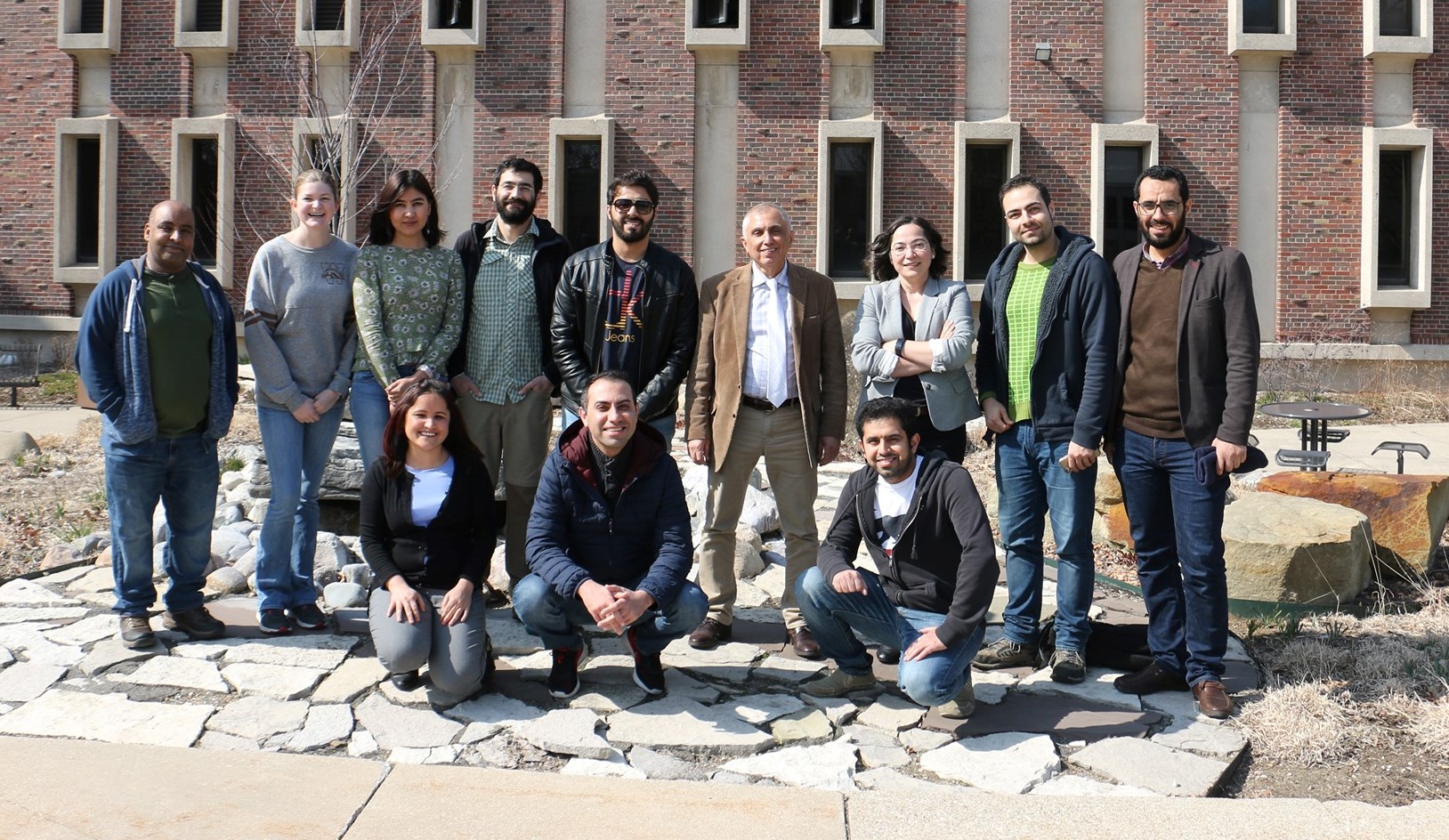
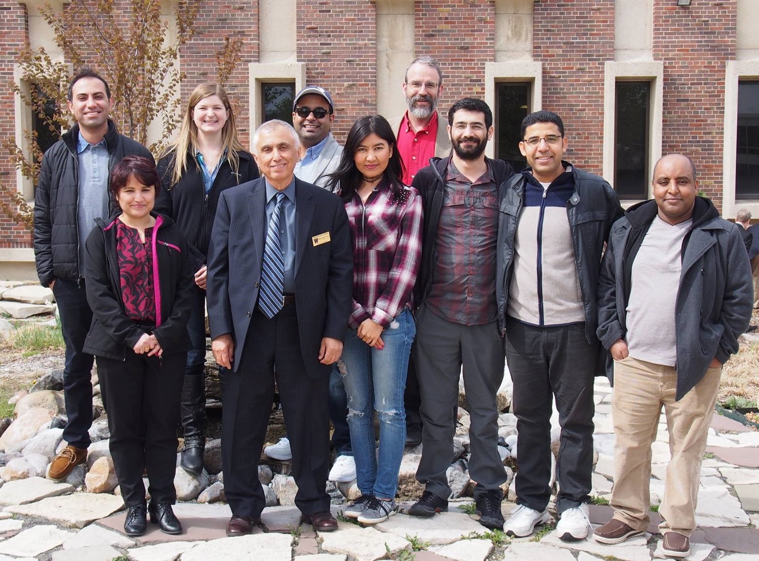
ESRS current and past members outside of Rood Hall on WMU’s main campus.