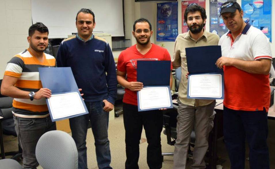
ESRS memeber Mustafa Kemal Emil lead a two month training course August-October for five Saudi Geologic Survey members on remote sensing and GIS applications in the paleohydrology of arid lands. This training is a collaboration between ESRS and the Saudi Geologic Survey.
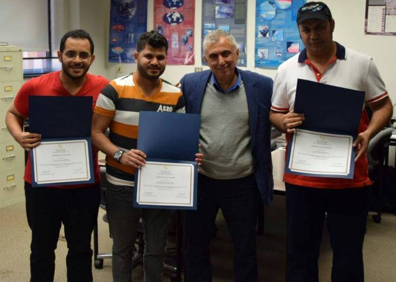
Dr. Sultan with the Saudi Geologic Survey members after completing their training.
Dr. Ahmed and Mustafa Kemil with the Saudi Geological Survey Members after completing their training.